Watch the Med
Development WTM siteAt least 366 people dead in wreck 1 km from Lampedusa
03.10.2013 / 05:01 / Lampedusa, Italy
In the early hours of the 3rd of October, a boat approximately 15m long which had left from Misrata in Libya carrying more than 500 migrants mostly from Somalia and Eritrea, arrived around 1km off the coast of Lampedusa , near the “Conigli” island, located 4km from the port (white square).
The survivors claim that as they arrived close to the coast, 2-3 fisher boats passed near the people in distress without assisting them. According to one source, it seems that at around 3.30 AM one boat with its lights off came very close to the migrants’ boat but did not intervene.
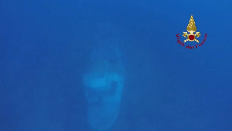
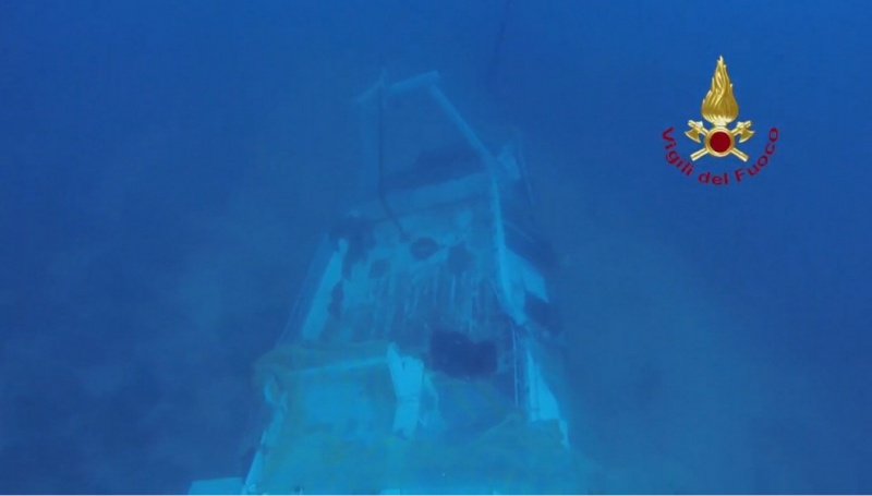
Shortly before dawn, the passengers decided to burn a cover on the deck in the attempt to attract the attention of other vessels they were seeing in the distance, however the fire quickly spread. The sudden movement of the large number of passengers to escape the fire made the boat capsize and sink.
A group of tourists who had slept overnight on board the boat “Gamar” anchored in the Tabaccara bay near the place of the incident heard the cries for help and rushed to rescue the migrants who were trying to swim to the coast. While they managed to rescue 47 migrants, they quickly realised there were many more and called the Coast Guard. While the tourists claim that their calls have been made no later than 6.30/6.40 but that Coast Guard arrived only at 7.30, the Coast Guard affirms that their responded to the VHF SOS which was made at 7 and that they arrived on spot before 7.20. The Italian border police as well as other fishermen quickly joined the rescue operation.
As of the 7 October, 155 people were rescued, 211 dead bodies have been recovered. The remaining passengers are still missing. More than 350 people may thus have perished in this incident, making it the most deadly known wreck of a migrants’ boat in the last years.
Many questions remain open as to the nature of the events including:
- why was this boat not detected by the very dense surveillance apparatus that surrounds the island of Lampedusa (several coastal radars (coverage in orange on map), the numerous patrol boats of the Coast Guard and Border Police (patrol area indicated by black line), maritime surveillance aircrafts, with these means partly financed and coordinated by Frontex) ?
- who are the seafarers who came in proximity to the migrants but failed in their obligation to rescue them?
- how long did it take for the Coast Guard to reach the site? If the rescue operation was delayed, why?
http://palermo.repubblica.it/cronaca/2013/10/03/news/lampedusa_naufraga_barcone_dopo_incendio_82_vittime_fra_loro_donna_incinta_e_2_bambini_ma_mancano_all_appello_250_persone-67793321/
http://palermo.repubblica.it/cronaca/2013/10/04/news/lampedusa_i_morti_recuperati_sono_111_riprese_all_alba_le_ricerche_dei_dispersi-67854018/
http://palermo.repubblica.it/cronaca/2013/10/05/news/lampedusa_boldrini_al_centro_d_accoglienza_mare_mosso_fermo_il_recupero_dei_corpi-67928824/
http://www.corriere.it/cronache/13_ottobre_05/strage-lampedusa-procura-smentisce-inchiesta-soccorsi-ma-polemica-9c070c2a-2d96-11e3-89d5-cdac03f987bf.shtml
http://www.repubblica.it/cronaca/2013/10/05/news/naufragio_lampedusa_le_polemiche_potevamo_salvarne_molti_di_pi-67923568/
http://www.lemonde.fr/europe/article/2013/10/06/reprise-des-recherches-a-lampedusa_3490757_3214.html
http://www.tgcom24.mediaset.it/cronaca/2013/notizia/naufragio-lampedusa-morti-sono-366_2004586.shtml
The survivors claim that as they arrived close to the coast, 2-3 fisher boats passed near the people in distress without assisting them. According to one source, it seems that at around 3.30 AM one boat with its lights off came very close to the migrants’ boat but did not intervene.
Shortly before dawn, the passengers decided to burn a cover on the deck in the attempt to attract the attention of other vessels they were seeing in the distance, however the fire quickly spread. The sudden movement of the large number of passengers to escape the fire made the boat capsize and sink.
A group of tourists who had slept overnight on board the boat “Gamar” anchored in the Tabaccara bay near the place of the incident heard the cries for help and rushed to rescue the migrants who were trying to swim to the coast. While they managed to rescue 47 migrants, they quickly realised there were many more and called the Coast Guard. While the tourists claim that their calls have been made no later than 6.30/6.40 but that Coast Guard arrived only at 7.30, the Coast Guard affirms that their responded to the VHF SOS which was made at 7 and that they arrived on spot before 7.20. The Italian border police as well as other fishermen quickly joined the rescue operation.
As of the 7 October, 155 people were rescued, 211 dead bodies have been recovered. The remaining passengers are still missing. More than 350 people may thus have perished in this incident, making it the most deadly known wreck of a migrants’ boat in the last years.
Many questions remain open as to the nature of the events including:
- why was this boat not detected by the very dense surveillance apparatus that surrounds the island of Lampedusa (several coastal radars (coverage in orange on map), the numerous patrol boats of the Coast Guard and Border Police (patrol area indicated by black line), maritime surveillance aircrafts, with these means partly financed and coordinated by Frontex) ?
- who are the seafarers who came in proximity to the migrants but failed in their obligation to rescue them?
- how long did it take for the Coast Guard to reach the site? If the rescue operation was delayed, why?
Last update: 15:24 Dec 05, 2013
Sources
http://www.unhcr.org/524d497e6.htmlhttp://palermo.repubblica.it/cronaca/2013/10/03/news/lampedusa_naufraga_barcone_dopo_incendio_82_vittime_fra_loro_donna_incinta_e_2_bambini_ma_mancano_all_appello_250_persone-67793321/
http://palermo.repubblica.it/cronaca/2013/10/04/news/lampedusa_i_morti_recuperati_sono_111_riprese_all_alba_le_ricerche_dei_dispersi-67854018/
http://palermo.repubblica.it/cronaca/2013/10/05/news/lampedusa_boldrini_al_centro_d_accoglienza_mare_mosso_fermo_il_recupero_dei_corpi-67928824/
http://www.corriere.it/cronache/13_ottobre_05/strage-lampedusa-procura-smentisce-inchiesta-soccorsi-ma-polemica-9c070c2a-2d96-11e3-89d5-cdac03f987bf.shtml
http://www.repubblica.it/cronaca/2013/10/05/news/naufragio_lampedusa_le_polemiche_potevamo_salvarne_molti_di_pi-67923568/
http://www.lemonde.fr/europe/article/2013/10/06/reprise-des-recherches-a-lampedusa_3490757_3214.html
http://www.tgcom24.mediaset.it/cronaca/2013/notizia/naufragio-lampedusa-morti-sono-366_2004586.shtml
| Credibility: |  |
 |
0 |
Related Reports
08:59 Oct 14, 2019 /
Central Mediterrean Kms
13/10: 2 cases: 40 people, most likely from Libya, rescued to Lampedusa; 102 people from Zawiya, rescued by Ocean Viking
18:35 Dec 02, 2020 /
Central Mediterranean Sea Kms
01/12 – 10 travelers in distress close to Lampedusa, arrived on Lampedusa
22:03 Aug 26, 2021 /
Central Mediterranean Sea Kms
25/08: 25 travellers arrived in Lampedusa, Italy.
12:55 Sep 16, 2021 /
Central Mediterranean Kms